
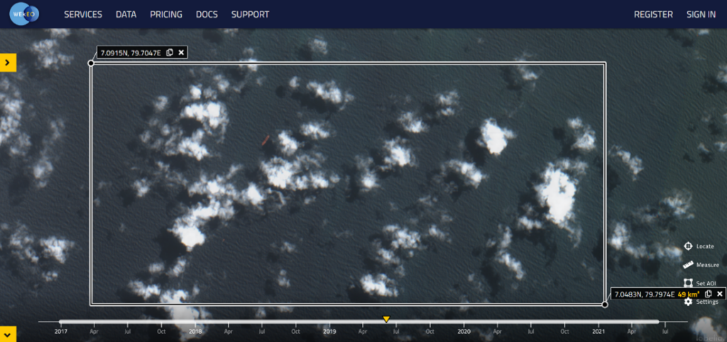
A cargo ship carrying chemicals and plastic pellets has been burning and beginning to sink off the coast of Sri Lanka starting on May 20th, 2021. The ship, the MV X-Press Pearl, was carrying 1,486 containers. Eighty-one of those were dangerous goods containers, including 25 tons of nitric acid that represents a potential huge environmental disaster. Among the ship’s dangerous goods were 78 tons of plastic pellets called nurdles — the raw material used to make virtually all kinds of plastic products – that can already be seen on shore. In addition, the vessel had about 300 tonnes of fuel aboard when she arrived in the anchorage off Colombo; even if some reports have suggested it is possible that a portion of the fuel may have burned off in the fire, there is a risk of oil leakage in the sea.
Unfortunately, oil spills, environmental disasters, and accidents at sea are frequent, thus operational reaction and mitigation systems are as integral to governments across the world as national weather systems. Mercator Ocean International, the implementor of the Copernicus Marine Service, works closely with Global Ocean Observing System (GOOS), Intergovernmental Oceanographic Commission (IOC-UNESCO) and the World Meteorological Organisation (WMO) , notably through the Expert Team on Operational Ocean Forecasting Systems (ETOOFS). This initiative is designed to create an official and thorough guide and resources for developing countries in their efforts to establish or evolve their Operational Ocean Monitoring and Forecasting Systems (for example, please refer to the next June 14-16 and 22-24 workshops). These systems then act as an operational base on which a myriad of specialised downstream services can be built. For example, MOi provides a word-class global ocean forecasting service that allows specialised actors like CMCC to react to environmental disasters with fit-for-purpose downstream models used to track the X-Press Pear shipwreck pollution drifts and impacts (discussed below).
After the MV X-Press Pearl container ship fire CMCC Foundation and CMCC srl delivered a bulletin forecasting the nitric acid and microplastic dispersion and modelling hypothetical oil drift pattern from the vessel in the period of interest. Forecasting the dispersion and the potential behaviour of the pollutant leakage while understanding in advance where and when it will reach the coastline is crucial to organize an efficient emergency response to limit severe environmental and economic consequences.
The CMCC bulletin is built upon the ocean currents and wind information and contains the forecast of transport of microplastic granules and nitric acid released in the marine environment as well as the bunker oil that is at risk of leaking from the sunken ship.
To meet these commitments, CMCC Foundation developed the MEDSLIK-II pollutant drift model. It is a freely available community model. It is used to predict the transport and oil transformation due to complex physical processes occurring at the sea surface and calculate the advection–diffusion processes using a Lagrangian approach.

Mercator Ocean international (MOi) provides CMCC with ocean current forecasts to feed the MEDSLIK-II pollutant drift model to forecast the oil spill and acid nitric trajectories. Such ocean currents are produced by the MOi ocean monitoring and forecasting system. MOi operates a global ocean system that describes, analyses and forecasts the state of the ocean in operational conditions at a horizontal resolution of 1/12°. This is possible thanks to an ocean and sea ice numerical model that embeds in situ and satellite observations through a data assimilation technique. Such techniques ensure that ocean forecasts accurately represent ocean behaviour and that uncertainties stay minimal. This ocean current product is then integrated by MOi into the Copernicus Marine Service portfolio model named the Global ocean Physics analysis and forecast (001_024). This product is downloaded by CMCC and combined with wind forecast from European Centre for Medium-Range Weather Forecasts (ECMWF). It allows CMCC to forecast the potential X-Press pearl oil slicks and wreckage and estimate the ensuing consequences hours and days in advance.
The Copernicus Marine Service portfolio implemented by MOi for the European Commission, gathers all marine data from various sources (in situ sensors, satellite observations and numerical ocean and sea ice models) and defuses the free-of-charge data and expertise into a single one-stop-shop service. All Copernicus Marine products are available free-of-charge for all users worldwide, allowing all meteorological services and operational oceanography centres globally to use this information in their own local pollutant drift models to forecast potential oil spill trajectories in their respective marine areas of responsibility.
The last similar collaboration between CMCC and MOi with use of Copernicus Marine products and MOi expertise was on the Wakashio shipwreck on the coast of Mauritius.